


 MKE Album: North End, The
| Name: | North End, The | ||
| Description: | a development along the Milwaukee river with the intent to be a neighborhood | ||
| Address: | near | ||
| Coordinates: | 43.050733, -87.906493 (corner of Water and Pleasant) | ||
| Place Area: | beerline | ||
| Place Type: | home | ||
| Web Site: |  www.mandelgroup.com www.mandelgroup.com
| ||
| Nearby: | (A) North End, The corner of Water and Pleasant | ||
| 135 meters | NW | to | (B) Pleasant Street Bridge |
| 244 meters | W | to | (C) Schlitz Park |
| 248 meters | N | to | (D) Riverwalk, West Side, north of Pleasant |
| 294 meters | N | to | (E) Trostel Square Apartments |
| 332 meters | SE | to | (F) Panera Bread |
| 344 meters | E | to | (G) Friedmann Row |
| 374 meters | NW | to | (H) Vine Street Stairs |
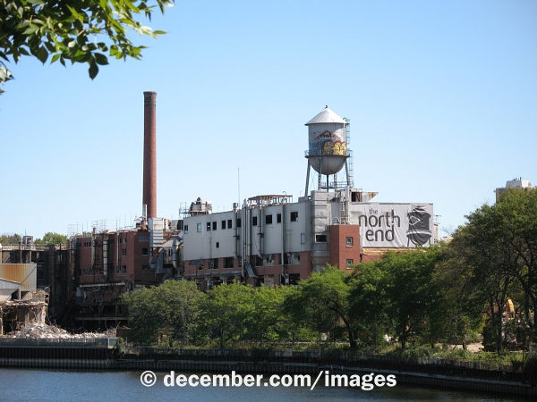
Photo Description: the water tower of the former tannery on this location as it appears over the under-reconstruction development
Photo Date: 2007-09-15
Place Area: beerline
Place Type: home
Photo Category: legacy
Link to Photo

Photo Description: old windows of the old Pfister and Vogel tannery on the site; shows the cream city brick
Photo Date: 2007-02-21
Place Area: beerline
Place Type: home
Photo Category: legacy
Link to Photo
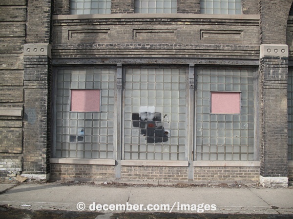
Photo Description: glass brick of the old Pfister and Vogel tannery on the site; shows the cream city brick
Photo Date: 2007-02-21
Place Area: beerline
Place Type: home
Photo Category: legacy
Link to Photo
